Second Island
By StressMaster(cache page)
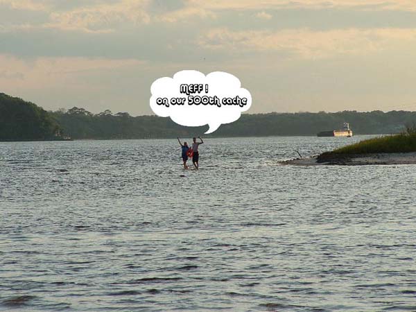
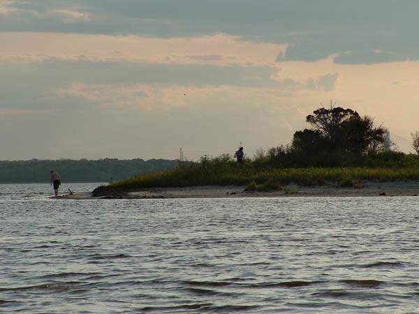
This was #500!!!! Yay!!! And it was such a GREAT cache for us to do together for our first major milestone! After meffing #499 at The Park Trails, we headed down a ways on the same road to attempt The Second Island. I had been out in this area before while caching with friends, and knew what island the Master of Camo was talking about... When Stress found out we were going to attempt this cache for our milestone he decided to head out and join us in order to watch us attempt this cache that he is so proud of (and has a right to be too).
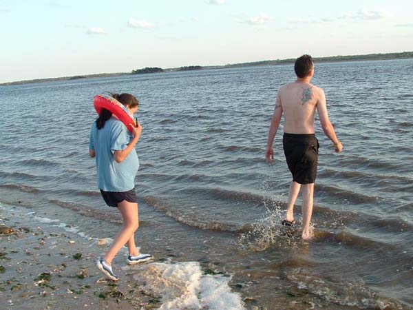
We had everything ready. Our bathing suits and water shoes on, our gps, and even a small floaty ring Tony bought for me just in case, since I would be attempting trekking through the St. John's River while eight months pregnant for this cache. Tony was first to start heading in. It had been a beautiful day, but now it was evening and the temperature was cooling down, and so the water was COLD! lol... I hesitated when I felt it with my feet, but excitement took over and I caught up with Tony.
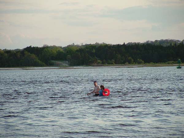
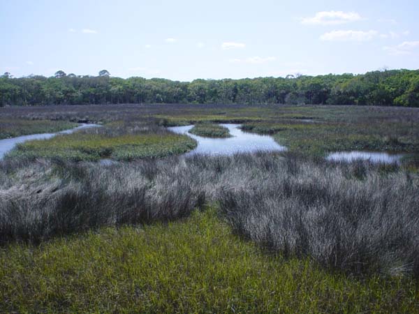
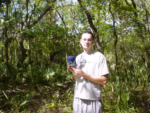
There is a certain trick to getting to the island, and I had seen it before while visiting the island with StressMaster and crew. We couldn't try to walk directly to the island because the way the tide works, it creates a big channel, so we had to walk straight out where it was still shallow, and then angle in toward the island, where it still remained fairly shallow, except on me since I'm so short. I think the deepest part of the water came up right below my chest, so it wasn't too bad. Tony had taken his shoes off because it was hard for him to walk with them on, but then unfortunately a little past half way he cut his foot on a rock, or something sharp. But he trooped on. We finally made it to the island, and while Tony checked out his foot, I went in to find the cache. It was so awesome finding it. After signing the log and taking a geocoin out to celebrate, we headed back in the water towards our parked car and audience.
StressMaster happened to have a first aid kit handy in his car (I have NO idea WHY, lol) so they cleaned up Tony's cut. It didn't look too bad so we figured it would be fine. The next morning we ended up going in to the hospital on base, and found out it was 4mm deep and 1.5 inches long. They would of stitched it up the night it happened, but since we waited Tony has to dress it for a few days to make sure there is no infection, then they will stitch it up. Tony's first caching related injury was the only bad thing that happened during this cache, but if he'd of kept his shoes on.... lol... seriously though, he will be fine, and even gets a desk job for a few weeks to let it heal up.
This was such an accomplishment for us, I think anyway. A few others had attempted this cache, but didn't get to it. It is a very worthwhile cache and a great feeling to get out there in the water and to make it to the island. StressMaster did a good job with this cache, and it was great to have him there to take pictures of us attaining this milestone. And it was just so nice to actually achieve this cache and goal with Tony, we had so much fun caching this day and this cache was just the icing on the cake.
posted by *s* @ 3:15 PM
0 comments
![]()